
Austin Neighbors Block Sources
The records around an Austin block answer limited, useful questions. Mower GIS shows parcel geometry, location, and selected property details. Recorder material concerns recorded transfers and legal descriptions. MNVotes checks a supplied address through a registration workflow. Archives can explain historic blocks, names, and public events. None of these sources creates a current list of every person on a block.
| Source | What It Shows About a Block | Access |
|---|---|---|
| Mower GIS | Parcel polygons, selected parcel details, municipality or township context, and visible adjacent lots | Public map; inspect each selected parcel |
| Assessor Property Card | Parcel-level value, tax, legal, and property-card context | Search each parcel after disclaimer acceptance |
| Recorder records | Recorded owners, transfers, and legal descriptions for an individual parcel | RecordEASE or Recorder public computer |
| MNVotes | Registration workflow for a provided address and its related election information | Address lookup; broader list follows §201.091 |
| Libraries and archives | Historic block names, directories, maps, newspapers, and civic-history context | Library, archives, or assisted research |
Owners and occupants are different categories. A mailing address may be a correspondence field. A deed records a transfer. A property-card result is a parcel record. For a block question, save the parcel ID, legal description, map date, and jurisdiction, then state only what the cited source actually supports.
Note: A nearby street number can be separated by a road, river, railroad, or public tract.
Mower GIS and Austin Neighbors
County instructions document an address, name, or PIN and Parcel ID path into the Mower property workflow. First accept the map disclaimer. Then locate the result, open Property Details, verify the parcel number, and use the two-page Property Card where needed. Tax statements, value notices, TNT statements, and sales-information links may appear from the property details route. The public instructions did not document a live buffer or radius control, so map browsing is the reliable documented method.
An Austin mailing address and the parcel’s municipal location are not the same field. USPS may return Austin 55912 for rural or nearby delivery destinations. Compare the standardized mailing result with the GIS situs address, municipality, and parcel location. If the address is outside city limits, the county or appropriate township is usually the proper custodian for a narrow records request, rather than assuming Austin City Hall holds the record.
For a city permit, inspection, zoning, code, or address-assignment question, no public searchable Austin index was located in the research. Send a narrow request to the City with the exact address, permit or record class, and date range. Ask for electronic copies where available and for any segregable public fields if a record includes protected material.
Use the Mower County department directory to find the office responsible for GIS, assessment, recording, elections, or a related request.
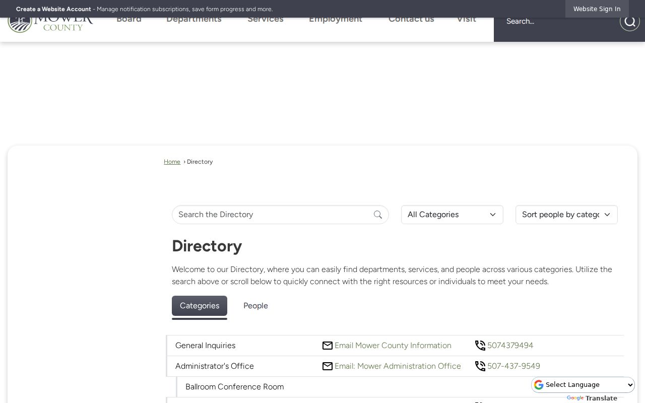
The county directory image supports the office-routing step, which is useful when a map result needs confirmation from the record custodian.
Mapping an Austin Block
Use parcel adjacency instead of an informal radius. The documented method is to find the target parcel, zoom to the street segment, and inspect polygons that share an edge or corner. A gap on the map may be a right-of-way or public land rather than a neighboring parcel. Where a parcel split, easement, or different land system matters, the legal description and recorder material can clarify the relationship.
- Enter the known address, name, or PIN in the Mower County property workflow, accept the disclaimer, and confirm the selected parcel number.
- Zoom to the surrounding street segment. Click each visible parcel that shares an edge or corner, then record its PIN, situs location, and stated jurisdiction.
- Open Property Details and the Property Card for each relevant parcel. Keep assessment facts, mailing fields, and the map date separate.
- When a recorded transfer or legal boundary matters, use the Recorder route or public computer. For the full chain along a named road, use the Austin street directory instead of treating a block search as a street-wide result.
Do not publish adjacent household names simply because a map makes them visible. A parcel map supplies a geographic relationship. It does not establish friendship, family, current occupancy, or a right to contact anyone.
Austin Neighbors Voter Boundaries
MNVotes is an address-based registration lookup, not a whole-block directory. Its search begins with required first and last names, then a ZIP Code or county mode, city or township, house number, street selection, and a conditional unit number. The service updates nightly, while a local election office may take up to 14 days to process a change. A match confirms a registration workflow or next step, not that a person currently occupies the address.
Minn. Stat. §201.091 makes specified voter information public, including name, address, year of birth, voting history, telephone number if provided, and district information. It also restricts voter-list use to elections, political activities, or law enforcement. Inspection of the public list is free. A copy can be supplied to a registered Minnesota voter within five business days after a complete written or electronic request, with reproduction cost and the required use affirmation.
Mower County Elections is at 201 1st St NE in Austin and maintains registration and history. The official Registered Voter List Request Form is the broader request route. It distinguishes the voter list from detailed voting-history files. Do not republish names, street addresses, or voting histories from a request.
Austin Neighborhood Directory Gap
No complete official Austin, Minnesota neighborhood-association directory or umbrella index was located in the reviewed sources. Do not treat a ward, park, subdivision, chamber membership, congregation, or nearby parcel as proof of association membership. The practical alternative is to use named civic resources for historical terminology, public organization contacts, and records routing, then ask the appropriate organization whether it has a public historical collection.
| Civic source | Useful block or community lead | Access and limitation |
|---|---|---|
| Austin Public Library | Genealogy gateway, local-history routing, and Austin Daily Herald archive leads | 323 4th Ave NE; directory shelf years require inquiry |
| Mower County Historical Society | Directories, newspapers, yearbooks, vertical files, township records, cemeteries, and local histories | 1303 6th Ave SW; Tuesday through Friday 10 to 4 or appointment; assisted research available |
| Minnesota Historical Society and Digital Library | County, township, newspaper, map, image, and archival catalog material | Collection and date coverage vary; not a current household directory |
| Austin Area Chamber | Current civic and organization-directory lead | Member listings are organization contacts, not residents |
Visit the Austin Area Chamber of Commerce as an organization-directory lead, not as an Austin neighbors roster.

The chamber image illustrates the civic-source category, where organization information must remain distinct from private household information.
Austin Neighbor Geography
Parks, cross streets, wards, the Cedar River, East Side Lake, Mill Pond, I-90, and U.S. 218 can make a local map easier to read. They are useful orientation words when a newspaper notice or historical source uses a place name instead of a parcel ID. Official park information supplies named parks and cross streets, while ward maps describe electoral districts. Neither one defines a neighborhood association or verifies an individual’s address.
Use the City of Austin park information to confirm the public geographic vocabulary before comparing it with Mower GIS. A postal city, ZIP Code, ward, municipality, township, parcel, and legal description should stay in separate note fields. Austin 55912 mailing geography may extend beyond the municipal footprint.
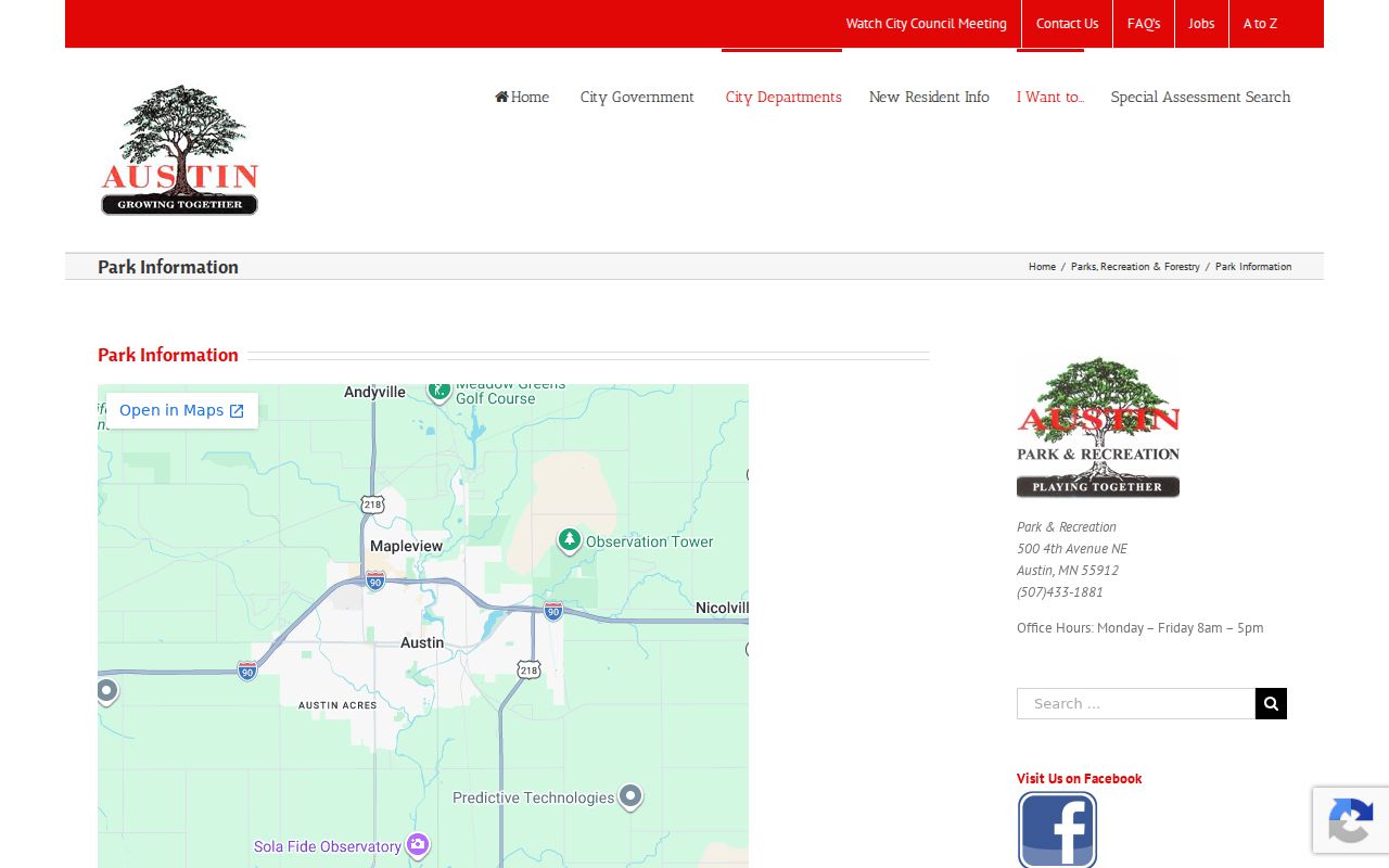
The city park image is an orientation aid for an Austin block, not evidence that a household belongs to a named community group.
Note: A ward is an electoral district, not a neighborhood roster or eligibility finding.
Historic Terms for Austin Neighbors
Historic sources can explain a block without exposing present-day personal details. Austin’s official history identifies the Cedar River community, the 1858 Mower County Mirror, Oakwood Cemetery, the Floral Club’s library origin, and the Headquarters Building’s early public uses. Those terms are productive searches in local newspapers, vertical files, city directories, historic maps, and the Mower County Historical Society collections.
The Historical Society lists overlapping local newspaper runs, including the Mirror, Mower Fillmore Republican, Austin Democrat, and Austin Daily Herald. A missing mention in one title or year is not proof that no notice was published. For a dated household question, pair an appropriate directory, census image, newspaper date, or deed with its source type and coverage limits. A historic entry should never be relabeled as a current address.
See the City of Austin history before using those local terms in an archive search.
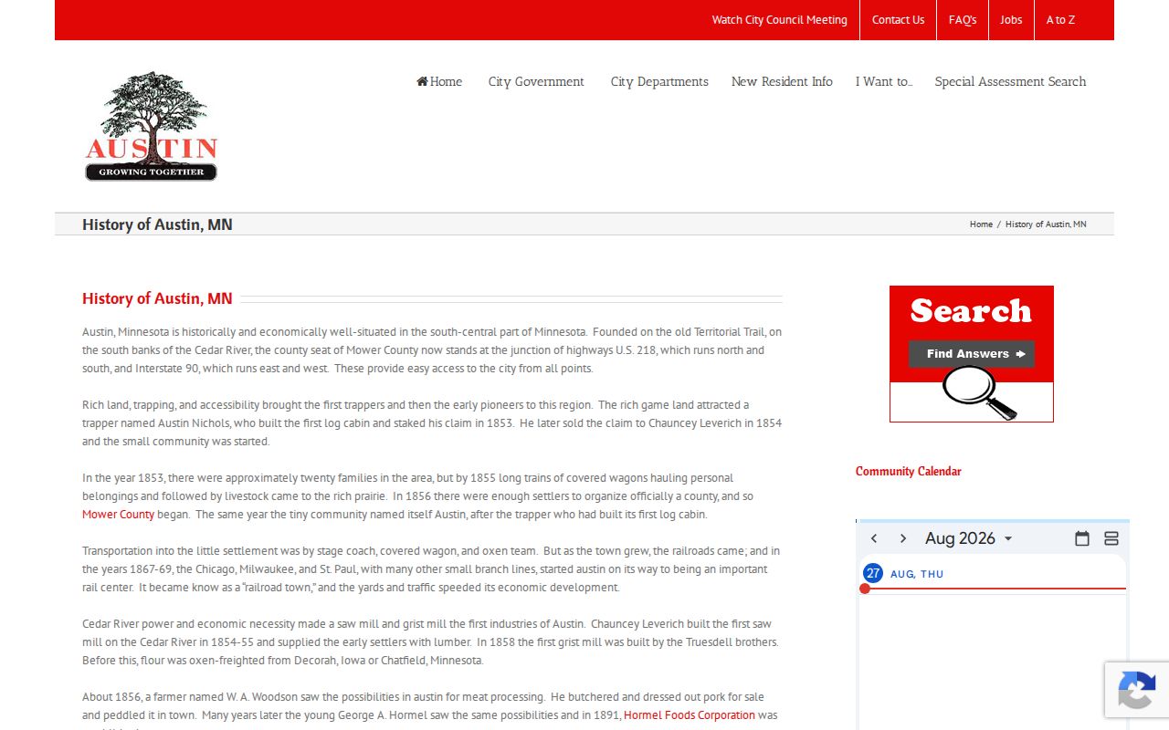
The historical image provides a precise Austin context for archive searches while keeping historic civic vocabulary separate from modern residency claims.
Official and Commercial Neighbors
Official and commercial sources have different purposes. A source that identifies a parcel, court case, or registration process should be checked with the custodian because it carries a defined jurisdiction, date, and access rule. Commercial neighbor-lookup categories combine data from mixed sources. Their matching, freshness, removals, and coverage vary, so they should not replace a current custodian record or a careful two-source verification.
| Category | What it can offer | Key limit |
|---|---|---|
| Official parcel, court, election, or archive source | A specific record type with a named custodian, stated field set, and date or jurisdiction | May be incomplete, protected, historical, or limited to one purpose |
| Commercial compilation category | A possible starting lead assembled from mixed public and commercial data | Accuracy, timing, matching, and removal practices differ; verify with the original custodian |
For Austin neighbors, the stronger approach is an exact address, a documented parcel relationship, a current access date, and a source-specific conclusion. Stop when the record boundary is reached.
Austin Neighbor Privacy Limits
Public access has firm boundaries. The Mower property system is parcel-based and does not create a household directory. The voter lookup does not expose a whole street, and voter-list access has a statutory use rule. Court records have protected categories. Utility, delivery, medical, and protected-address data are not a substitute for a block search. A record’s absence can reflect a protection, an update delay, a coverage gap, or another custodian.
Safe at Home under Minnesota Ch. 5B gives qualifying participants a substitute address and mail-forwarding system. Agencies have handling rules for the program, and a public request cannot be used to reveal a participant’s real address. Contact the custodian about an apparent error or privacy issue instead of trying to resolve it through repeated searches.
Review Minnesota Safe at Home guidance for the state’s address-confidentiality route.
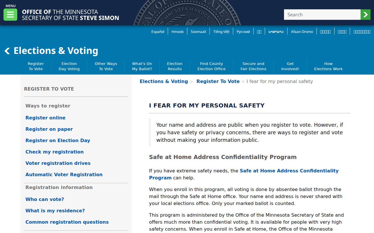
The Safe at Home image reinforces that a substitute address is a protection, not a lead for identifying a real location.
Lawful use. Austin neighbor research is for personal, lawful purposes such as understanding parcel geography, family history, or community context. Minnesota’s anti-stalking law, Minn. Stat. §609.749, bars conduct used to harass, monitor, or intimidate another person.