
Finding Austin Addresses by Street
An address search in Austin should follow the record trail, not a presumed household list. First, use USPS to standardize the mailing line and compare it with the situs location shown by Mower County. The assessor and GIS records then provide the parcel number, a stable identifier that is more useful than a loose street-name match. A deed can document a transfer, while a voter workflow or old reverse directory answers a narrower and differently dated question. Keep the date and custodian alongside every result.
- Enter the address in the USPS ZIP Code Lookup, then retain the returned mailing line without assuming it defines the municipal boundary.
- Search Mower County by address, confirm the parcel or PIN, open Property Details and the Property Card, and inspect the street segment in GIS.
- Use the PIN and legal description to locate the current and earlier deeds in the Recorder index. A deed records a transfer, not continuous occupancy.
- For a supplied address, use MNVotes only as its address-based registration workflow permits. It does not publish a searchable whole-street roster.
- For an earlier clue, ask Austin Public Library, Mower County Historical Society, or FamilySearch for a dated street guide, telephone book, or criss-cross directory.
Each step narrows the question. Parcel and deed data identify property and transfer history; a historic directory can show a dated listing; a registration lookup has its own access rules. None should be merged into a profile of a current household.
Austin Street Records at Scale
Mower County reports that the Assessor handles roughly 21,300 parcels each year. That scale makes the parcel number essential. An Austin postal address can be associated with a city parcel, a township parcel, a split lot, or a rural route using an Austin mailing line. The county documents a property workflow rather than a street-by-street people list. It begins with PIN, name, or address and leads to Property Details and a two-page Property Card.
Assessed value, classification, and review information are assessment facts. A mailing field is for correspondence. Neither proves that a named party owns the property today or occupies it. Save the access date and PIN with any property-card note, especially when comparing several locations on the same Austin street.
Note: The annual parcel count and review cycle describe assessment work, not the number of Austin households.
Austin Property Search Fields
The county property-information instructions describe the public search path. Accept the map disclaimer, search by PIN, name, or address, open Property Details, verify the parcel number, and then select the Property Card. The live ArcGIS controls can change, so this table separates documented functions from controls the county did not state.
| County field or action | Input type | Required status | Austin use and limits |
|---|---|---|---|
| PIN / Parcel ID | Text | Not stated | County calls it parcel number, PIN, or Parcel ID; confirm live formatting. |
| Name | Text | Not stated | County documents a name search; matching behavior is not stated. |
| Address | Text | Not stated | Use the standardized address, then verify street-number normalization. |
| Disclaimer acceptance | Checkbox/control | Yes before map use | County instructions say to check the disclaimer and click OK. |
| Property Details | Map popup/action | Not stated | Opens the right-side detail entry after a search. |
| Property Card | Link/action | Not stated | Verify the PIN first; the card is a two-page PDF summary. |
| Tax/value notices | Link/action | Not stated | Tax statements, value notices, and TNT statements are linked there. |
| Sales information | Link/action | Not stated | Detailed sales information leads to Minnesota Department of Revenue material. |
| Pagination/export | Not stated | Not stated | Static inspection did not capture result limits, sorting, export, or print controls. |
The Mower County Geospatial Hub is the public map entry point. If a card is unavailable, contact the Assessor at 507-437-9440 or visit the counter to ask how the current property record is supplied and whether a classification affects access.
The county property-search instructions show the public entry path.
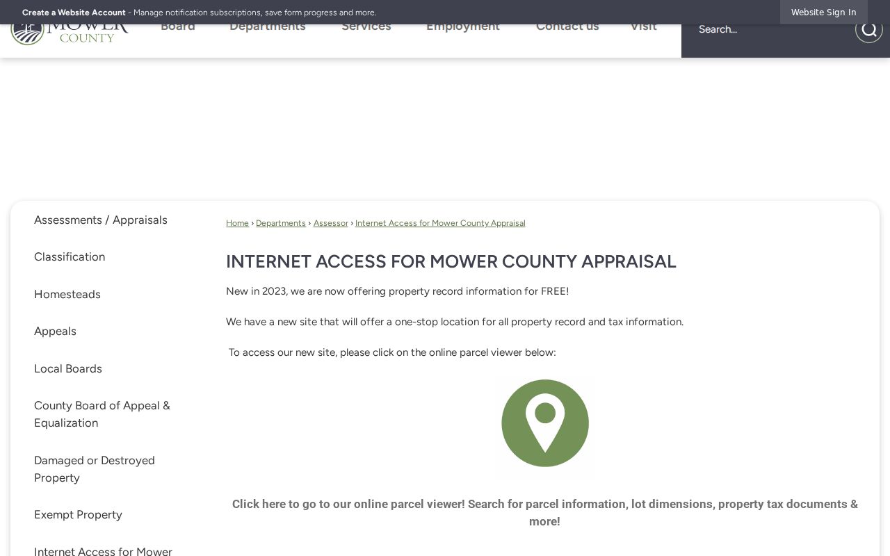
The image relates to the documented PIN, name, and address route. It begins a parcel search; it is not a list of people along a street.
Austin Situs and Mailing Lines
An Austin mailing line and an Austin situs address can point to different geography. Minnesota's city, county, and ZIP listing identifies Austin in Mower County with 55912, but nearby rural destinations can use Austin 55912 for postal delivery. USPS resolves mailing format. The GIS map and parcel data resolve municipality, township, and physical parcel.
Keep separate columns for the original address, USPS-returned line, parcel/PIN, municipality, county, and source date. This makes a mismatch visible. It also avoids assuming that a mailing city proves a property is inside Austin city limits or that an assessment correspondence field proves someone is at the situs address.
Austin GIS Along a Street
Mower County GIS is the visual layer for an address chain. After finding the target parcel, zoom to the street segment and record the map date, parcel outline, PIN, situs address, municipality or township, and any displayed tax context. A map can hold several kinds of geography, so note which layer produced a label. The exact live layer list and historical-parcel tools were not captured in the static county instructions.
Map browsing is useful for checking parcel splits, a road or right-of-way, and township labels. It is not evidence of a person's occupancy. When a street has several similar addresses, resolve unit, lot, building, or parcel-split context before continuing to the Recorder. The GIS office can be reached at 507-437-9553 if an archived map or addressing record is needed for a defined date.
Note: A parcel outline can clarify location, but it does not identify every person connected with the address.
Austin Deed Records by Address
The Recorder's work begins after the parcel is identified. Use the PIN and legal description to locate current and earlier recorded instruments, then compare grantor, grantee, recording date, document number, and legal description. Street-address strings may be absent from older deeds or may have changed. A legal description is the better tie between a parcel record and a deed.
RecordEASE is available around the clock, requires login for its online application, and charges for searches and document views. The public landing information states a $0.50 search charge and a $1.50 recorded-document view charge, subject to confirmation with the Recorder. The in-office public computer is the fallback when the online application cannot reveal needed index detail. Call the Mower County Recorder at 507-437-9446 before a visit or a request for a particular series.
The Mower County Online Record Access page identifies the Recorder's routes and fee context.
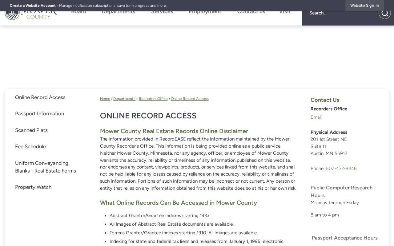
Confirm the current access method, then preserve the recording date and legal description instead of relying on an address alone.
Austin Street Permit Requests
A dated city permit or inspection record can add a building-history event to an Austin address. The city planning and building FAQ identifies examples such as new buildings, additions, decks, garages, fences, fireplaces, pools, water heaters, renovation, electrical work, plumbing, and HVAC work. No public searchable permit or code index was located, so a general web search is not a substitute for a custodial request.
Use the Austin planning and building information to frame a narrow question by permit class and date range. Ask the City Clerk or responsible department for electronic copies of public fields and an explanation of any withheld classification. A request under Minn. Stat. §13.03 should identify the address or parcel, record type, date range, and preferred format.
Austin Criss-Cross Address Clues
A criss-cross directory is arranged by address rather than alphabetically. It can give a dated listing or subscriber clue for a house once deed records have established a property trail. The local collection inventory is not fully itemized online. Mower County Historical Society, Austin Public Library, and the FamilySearch Austin/Mower catalog are practical places to ask for a specific year, publisher, street guide, reverse directory, or telephone book.
Copy the exact street spelling, initials, abbreviations, volume year, and page. Then check the alphabetical portion of the same volume and nearby cataloged years. A directory entry is a dated listing as the publisher defined it. It does not prove continuous occupancy, ownership, or that every person at an address appears. The collections themselves are described on the Austin city directory page.
- Parcel
- A county-tracked piece of property, usually tied to a PIN that connects map, assessment, and deed work.
- Situs address
- The physical location assigned to property, distinct from a correspondence or tax mailing line.
- Plat
- A recorded map showing lots, blocks, roads, easements, or subdivision context for a legal description.
- Criss-cross directory
- A dated address-arranged directory that may point to a listing at a particular house or street number.
Note: Ask for one named year and source type, because the catalog does not establish an uninterrupted local run.
Austin Street Record Coverage
Address-keyed sources produce different evidence. The table keeps the current parcel, map layer, recorded transfer, city request path, and historic listing in their own lanes. That separation matters when an Austin street crosses a postal, municipal, or township boundary.
| Address record | Local keeper | What it can show | How to reach it |
|---|---|---|---|
| Property Card | Mower County Assessor | Current parcel/PIN, assessment context, property traits, and possible situs or mailing fields | Public Geospatial Hub, counter, or Assessor at 507-437-9440 |
| GIS parcel map | Mower County GIS | Parcel outline, location, municipality or township, map context, and adjacency | Public hub or GIS office at 507-437-9553 |
| Recorded deed or instrument | Mower County Recorder | Legal description, grantor/grantee, recording date, and chain clues | RecordEASE, public office computer, phone, or defined copy request |
| Plat or subdivision record | Recorder, GIS, or MCHS | Lot, block, roads, easements, and parcel-creation context | Online, counter, or archive inquiry; historic inventory varies |
| Permit or code file | Austin Public Works or City Clerk | Public permit, application, inspection, or code-event dates where retained | Written request for a defined address and date range |
| Tax or value notice | Assessor or Treasurer | Taxing district, assessed or taxable value, and notice dates | County property links or a defined county request |
| Historic directory | MCHS, APL, or FamilySearch | Dated address, business, or street-guide clue | Shelf, microfilm, digitized item, or assisted-research inquiry |
MNVotes is not included as a street roster because it checks a supplied address within a registration workflow. Broader voter-list access is governed by Minn. Stat. §201.091 and its request, eligibility, and use rules, rather than a map or parcel search.
Austin Street Directory Cutoffs
RecordEASE coverage must be read by land system. The county says abstract Grantor/Grantee indexes begin in 1933 and Torrens indexes begin in 1910, while the RecordEASE landing notice separately displays images from 1900 and Grantor/Grantee access back to 1919. Those statements are not interchangeable. Before declaring a street chain ended, ask whether the property is abstract or Torrens and which book, index, image series, or tract card applies.
The Recorder office page is the source for the custodian role and Property Watch context. Property Watch can alert a selected name's appearance in a recorded document, but it is not a document copy and does not settle ownership or occupancy. The public computer and office staff are the right fallback for a series that is unclear online.
RecordEASE displays its login, coverage notice, and access terms on its public landing page.
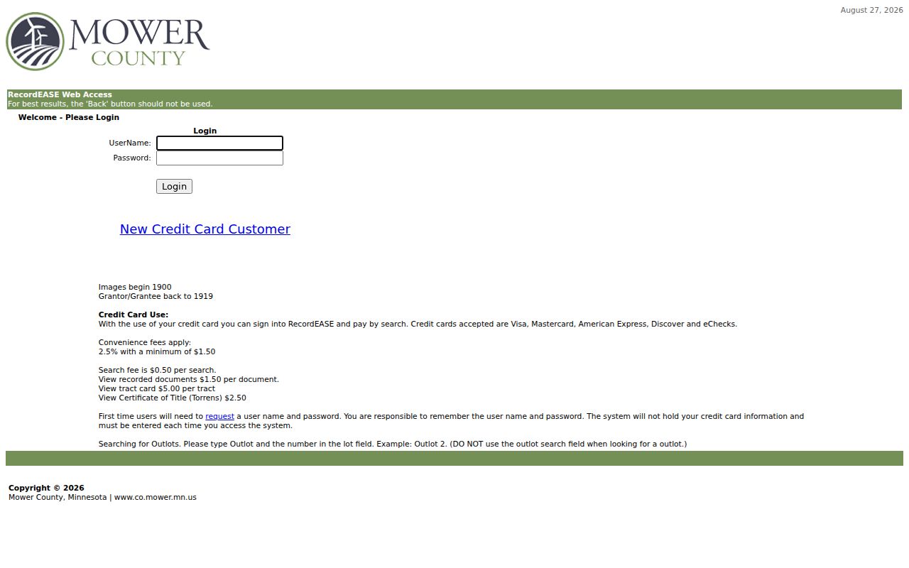
The screenshot shows the online entry point. Confirm the land system and document series with the Recorder before treating a displayed year as a complete cutoff.
The Mower County Recorder page identifies the office behind the recorded-instrument trail.
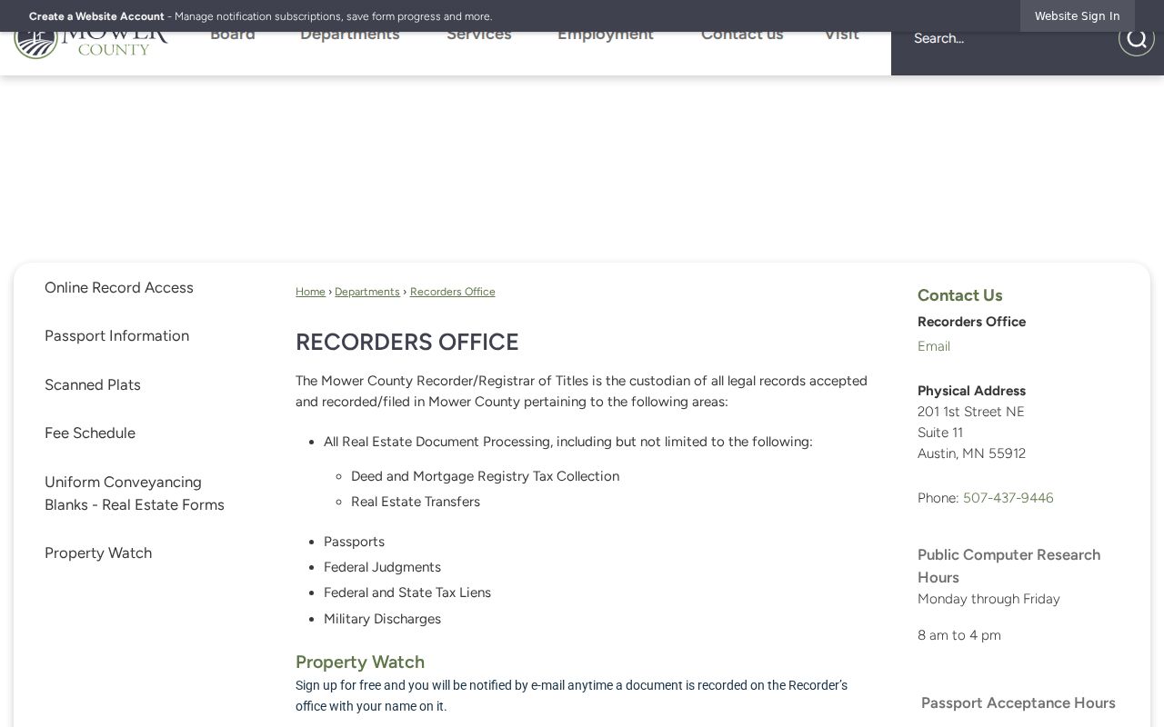
That office also provides the in-person alternative when authenticated online screens do not expose field-level access.
Limits of an Austin Street Directory
A street search cannot establish an entire household, a person's present location, or continuous history from a single record. Property cards are assessment records. Deeds are transfer records. Directories are dated publisher listings. GIS is a parcel map. Minnesota registration data has statutory access and use limits, and Safe at Home protects qualifying participants through a substitute-address program. Do not use an apparent record match to fill in a protected address or private details.
Where a public result is incomplete, use the narrow fallback: the responsible county office, the Austin City Clerk for city-held records, a written request under Minn. Stat. §13.03 through the county Services route, or a library and archive inquiry for a dated historical source. Ask for segregable public fields rather than assuming a record is wholly available or wholly closed.
Lawful use. Austin address records are appropriate for personal historical, genealogical, or civic research. Do not use them to stalk, harass, intimidate, or build a target profile of any person; Minnesota law treats stalking-related conduct seriously.