
Austin ZIP Coverage
The official Minnesota Department of Public Safety city, county, and ZIP reference has one Austin row: Austin, Mower County, 55912. That is the complete city/county/ZIP match located in the official source. It should not be enlarged with every neighboring Mower County ZIP. The row is a starting point for a postal check, while the address itself still needs USPS standardization and county geography review.
| ZIP | Areas Covered | Post Office | Notes |
|---|---|---|---|
| 55912 | Austin postal delivery addresses, including some nearby rural destinations that use Austin as the mailing city | Austin Post Office, 200 1st Ave SE | Minnesota DPS lists Austin | Mower | 55912; postal city and city limits are separate. |
The post-office listing identifies Austin, MN 55912-3465 and gives a public contact number of 507-434-4748. Research captured displayed hours of Monday through Friday, 8:30 to 5, and Saturday, 9:30 to 11:30. Check the live USPS location page before a visit because postal hours can change.
Austin ZIP Postal Evidence
Use USPS ZIP Code Lookup when the question is which ZIP belongs with a specific street address. The tool accepts an address or city and state information and returns a standardized mailing result. Record both the original address and the returned address. If USPS displays ZIP+4, retain it as part of the returned mailing line rather than replacing the base ZIP in county or city fields.
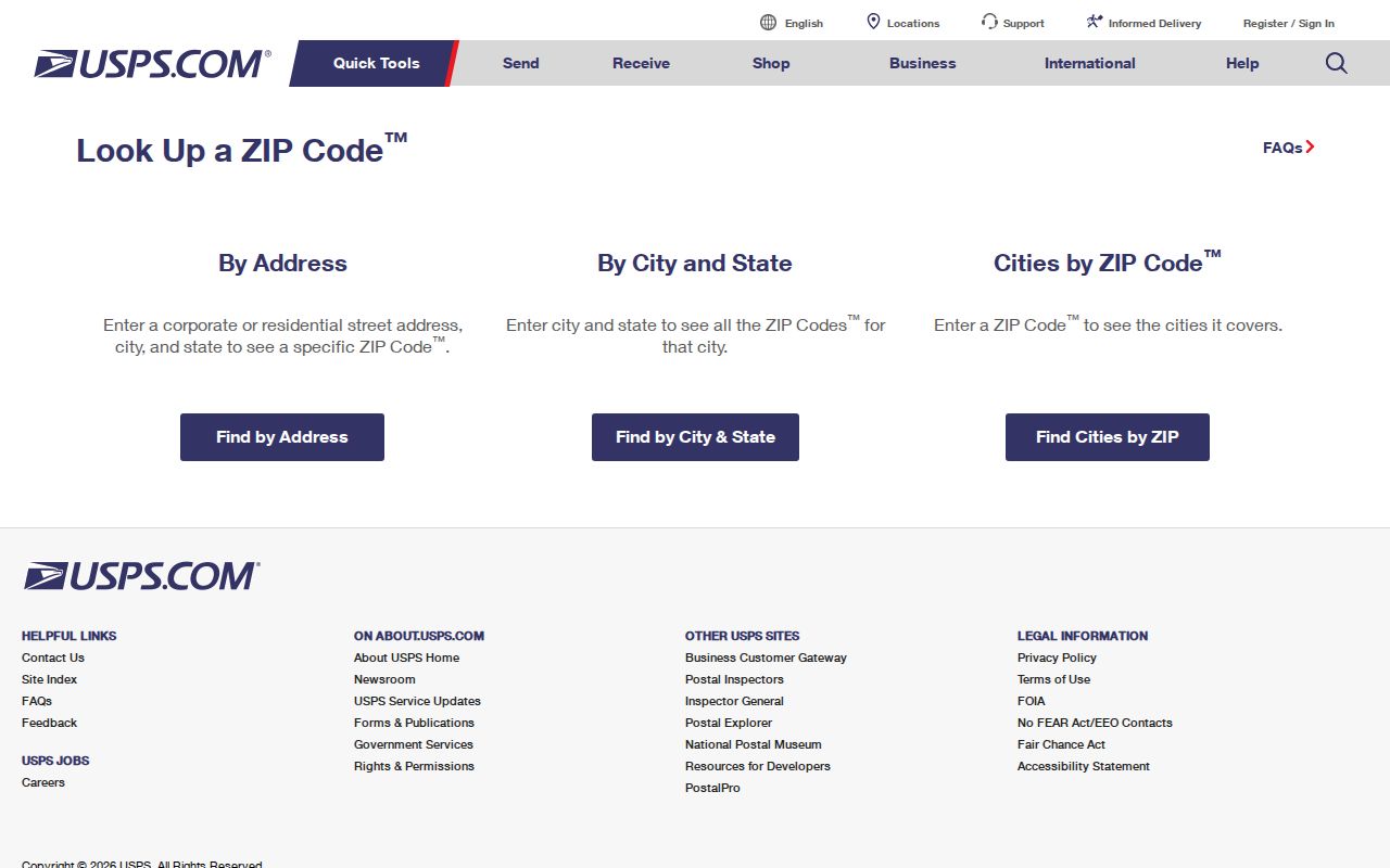
The USPS result supports a mailing format and ZIP association. It does not decide whether a parcel is inside Austin, which government office keeps the record, or whether an address is a physical delivery point.
For a reusable research note, keep the original address, USPS-returned line, ZIP+4 if shown, municipality, county, parcel or PIN, source date, and whether the address is a post-office box, delivery route, or situs address. Those fields prevent a later search from mistaking a mail route for a municipal boundary.
Finding Austin ZIP Records
A ZIP narrows geography, but it does not create a complete list of Austin residents. The documented local workflow has two passes. First, standardize one address with USPS. Second, use the official record system that matches the question. Mower property tools use address, name, and parcel identifiers rather than a documented ZIP filter. MNVotes uses ZIP as the beginning of an address-based registration workflow, not as a ZIP-wide resident directory.
- Enter the exact street address in USPS lookup and save the normalized mailing line.
- Compare the returned city and ZIP with the municipality and parcel location in Mower GIS.
- Use MNVotes only when checking a supplied registration address, completing the required name and address fields.
- For a voter-list request, use the official state form and meet the statutory eligibility and use requirements.
- When the ZIP is narrowed to a street or parcel, continue with the Austin street directory workflow rather than treating a postal number as an address record.
The county assessor and GIS instructions document PIN, name, and address searching, Property Details, and a Property Card. They do not document a ZIP-only resident search. A ZIP can orient the search, but the parcel workflow is the evidence route for local geography.
Austin ZIP MNVotes Fields
MNVotes starts with an address-based registration lookup. Its observed address mode says to find a street address starting with either ZIP Code or county. A ZIP-mode search then asks for city or township, house number, and street, along with required first and last names. It can return a confirmation link for a match or status and next steps when no match appears.
| MNVotes field | Type | Required | ZIP-mode notes |
|---|---|---|---|
| First name and last name | Text | Yes | Invalid-character notices appear on the name inputs. |
| Address search mode | Toggle-style control | Yes | Choose ZIP Code or county search. |
| ZIP Code | Text | Yes in ZIP mode | Follow with city or township, house number, and street. |
| City or township | Select | Yes | Choices depend on the ZIP or county mode. |
| House number and street | Numeric text and selector | Yes | House number uses numbers only; choose the street after geography is set. |
| Apartment or unit | Checkbox and conditional field | Only when used | Checking it enables a required unit number field. |
MNVotes updates nightly, though local election officials may take up to 14 days to process a change. It is not a searchable master list. Minnesota Statutes section 201.091 controls public voter information and its permitted use. Protected addresses and pending changes are further reasons not to treat a web result as proof of current residence.
Austin ZIP Postal Counter
The USPS location search is the direct counter route when an online lookup needs an in-person postal follow-up. Its Austin result identifies the Austin Post Office at 200 1st Ave SE, Austin, MN 55912-3465. Use the Postal Service for a delivery-address or ZIP association question, then use county GIS for municipal and parcel geography.
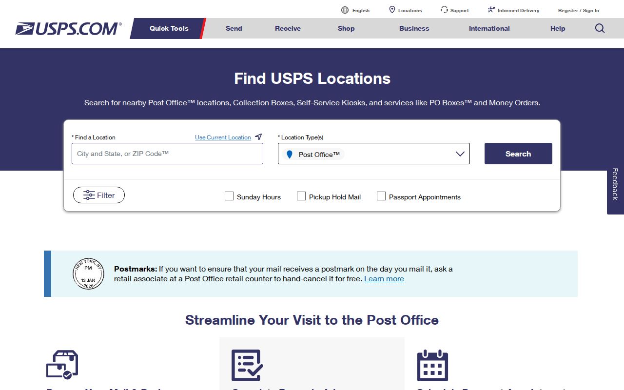
The location-search view is a source for post-office location information. It is not an Austin boundary map, a parcel viewer, or a record of a household's current location.
Nearby rural destinations can carry Austin 55912 as a postal destination. USPS postal bulletins illustrate that routing practice, but they are not a complete list of delivery points. When city jurisdiction matters, send a focused question to the county GIS office or the relevant township instead of relying on a mailing-city label.
Austin ZIP City-Limit Check
Postal geography and municipal geography serve different systems. A physical address may use Austin, MN 55912 for delivery while lying outside Austin city limits. The research found no public, authoritative table that lists every 55912 delivery point or every alternative postal name. That gap is a reason to verify the individual address live, not a reason to assume the ZIP matches the city boundary.
Use USPS for the mailing line, the Minnesota DPS PDF for the state city/county/ZIP reference, and Mower GIS for parcel location and municipality. Keep the postal city, city or township, county, parcel or PIN, and source date in separate fields. A city parcel may also have a mailing format that differs from an informal neighborhood label.
- ZIP Code
- The five-digit Postal Service routing code tied to a standardized delivery address.
- ZIP+4
- An added four-digit delivery detail that refines the base ZIP for a particular address range or destination.
- PO-box ZIP
- A ZIP used for post-office box service, which is not the same as a physical situs address.
- Unique ZIP
- A ZIP assigned to a single organization or large receiver. No Austin unique ZIP was documented in the reviewed source.
- Carrier route
- A delivery-route grouping used by the Postal Service, not a city-limit or parcel-boundary layer.
Austin ZIP GIS Check
Mower County GIS and Online Mapping provides the local parcel-geography check after USPS standardization. County instructions document disclaimer acceptance, searches by PIN or Parcel ID, name, or address, Property Details, and a two-page Property Card after parcel-number verification. The public instructions do not state that the system has a ZIP search field, so use an exact address or parcel identifier instead.
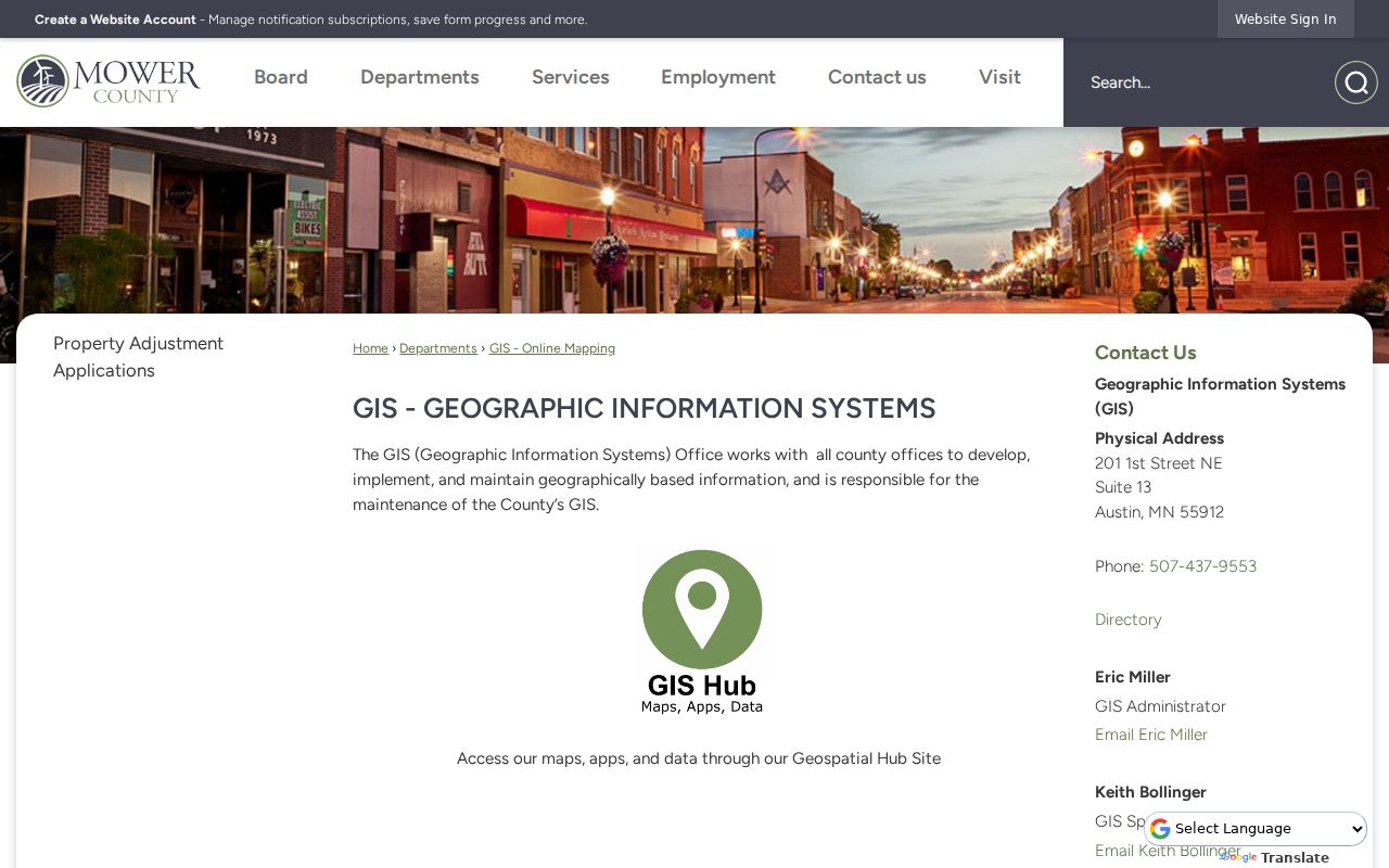
The GIS result is the place to compare the normalized mailing address with a parcel's map location and municipality. Record the map date and parcel or PIN, especially when an address returns more than one parcel, a unit, lot, or parcel split.
Mower GIS can show present parcel geography and adjacency. The research did not locate a public historical address-point or parcel-version layer, complete street-renumbering record, or annexation chronology. Ask GIS for an archived map or addressing record for a defined date when the ZIP question depends on old geography.
Austin ZIP Record Routes
Different records accept ZIP information in different ways. MNVotes begins an address lookup with ZIP or county. A Minnesota Department of Health compiled vital-data request can specify a ZIP, while MOMS marriage searching is organized around a person, date, and county. The Mower assessor and GIS route uses name, address, or PIN. Historical directories and newspaper indexes are not ZIP databases.
For a voter-list request rather than a registration lookup, use the Registered Voter List Request Form. It covers requester contact, eligibility affirmation, geographic scope, delivery format, and payment. Mower County Elections, at 201 1st St NE in Austin, handles local registration, absentee, and early-voting functions. Do not republish names, addresses, or voting history from this type of record.
Note: A ZIP narrows a mailing search, but the custodian, record date, and exact address determine what the resulting record can establish.
Austin ZIP Coverage Gaps
No public source reviewed supplies a full Austin 55912 delivery-point table, a complete postal-name alternative list, or a ZIP realignment chronology. This is a useful limit, not a missing list to recreate. Run USPS for the exact address and compare the result with Mower GIS when the distinction between postal city and city limit matters.
For Austin research, the practical stop point is clear: USPS has returned the mailing format, GIS has identified the parcel geography, and the record custodian has answered the defined request or identified an access limit. Keep a source date because postal, parcel, and election systems change on different schedules.
The state city/county/ZIP reference is a geographic cross-check, not a delivery-point inventory. A result that says Austin and 55912 should still retain the county, municipality or township, and parcel identifier when a county record is searched. That small record of the comparison makes it possible to tell later whether the search covered an Austin municipal address, a rural postal destination, or an address whose jurisdiction needs another office.
Historical questions need the same care. Current GIS layers may show parcel geography but do not document every older address point, former parcel shape, or historic street number. For an older Austin address, preserve the directory or newspaper date, run the current postal and GIS checks separately, and ask the county for an archived map or addressing record only for the defined time period.